Tehov – urban study of public spaces
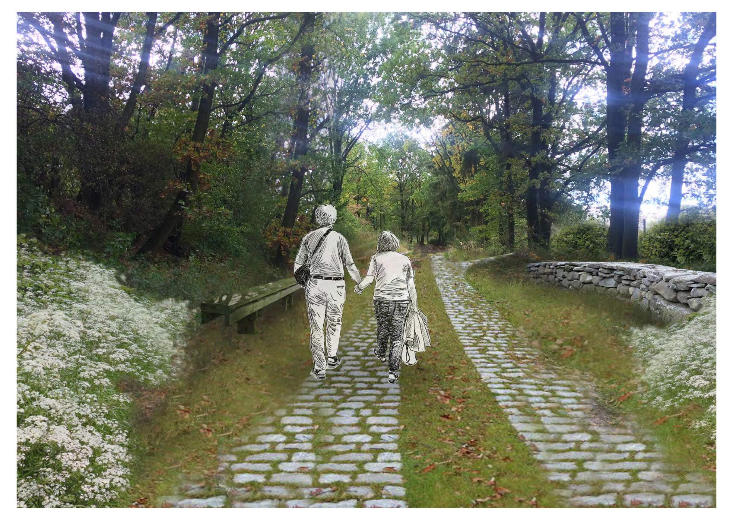
Public spaces are the key carriers of the territory’s identity. They are important for identification and good orientation within the village, they also contribute significantly to the residents’ sense of security and enhance the feeling of “being home”. The main goal of the territorial study was to determine the public spaces´ basic concept of development. It was important to find mutual relations and arrangement of individual parts of the village.
| The name of the project: | Tehov - Urban study of public spaces |
| Authors: | Pavel Hnilička, Jana Kafková, Karolína Röschl, Zuzana Moltašová |
| Area: | 21 ha |
| Client: | The village of Tehov |
| Project: | 2018 |
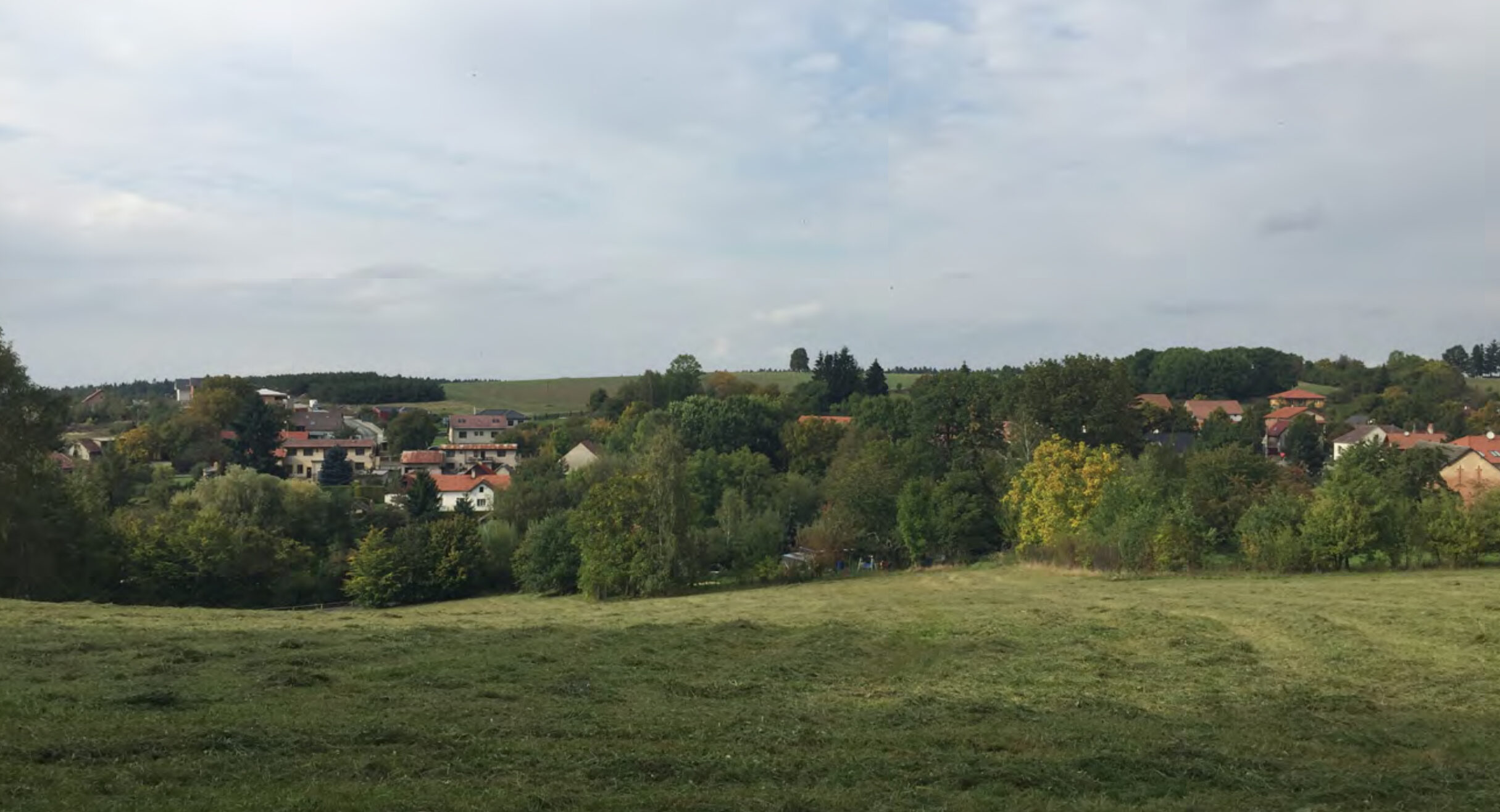
The village of Tehov is located in the picturesque hilly countryside of the so-called Lada region, named after a beloved Czech illustrator. The village lies 4 kilometers from the town of Říčany and approximately 26 kilometers from Prague. The settlement has a compact shape and is elegantly embedded in the morphology of the surrounding landscape. Tehov´s great advantage is its stabilized street network, which significantly contributes to the village character of the place.
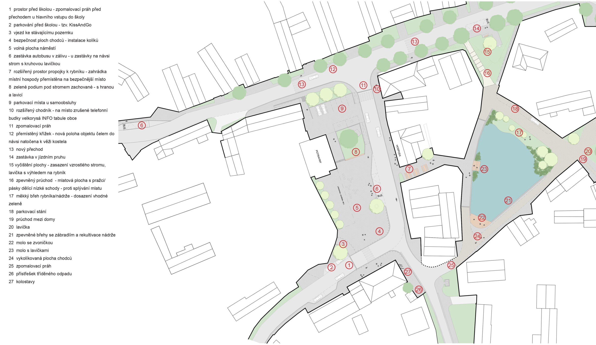
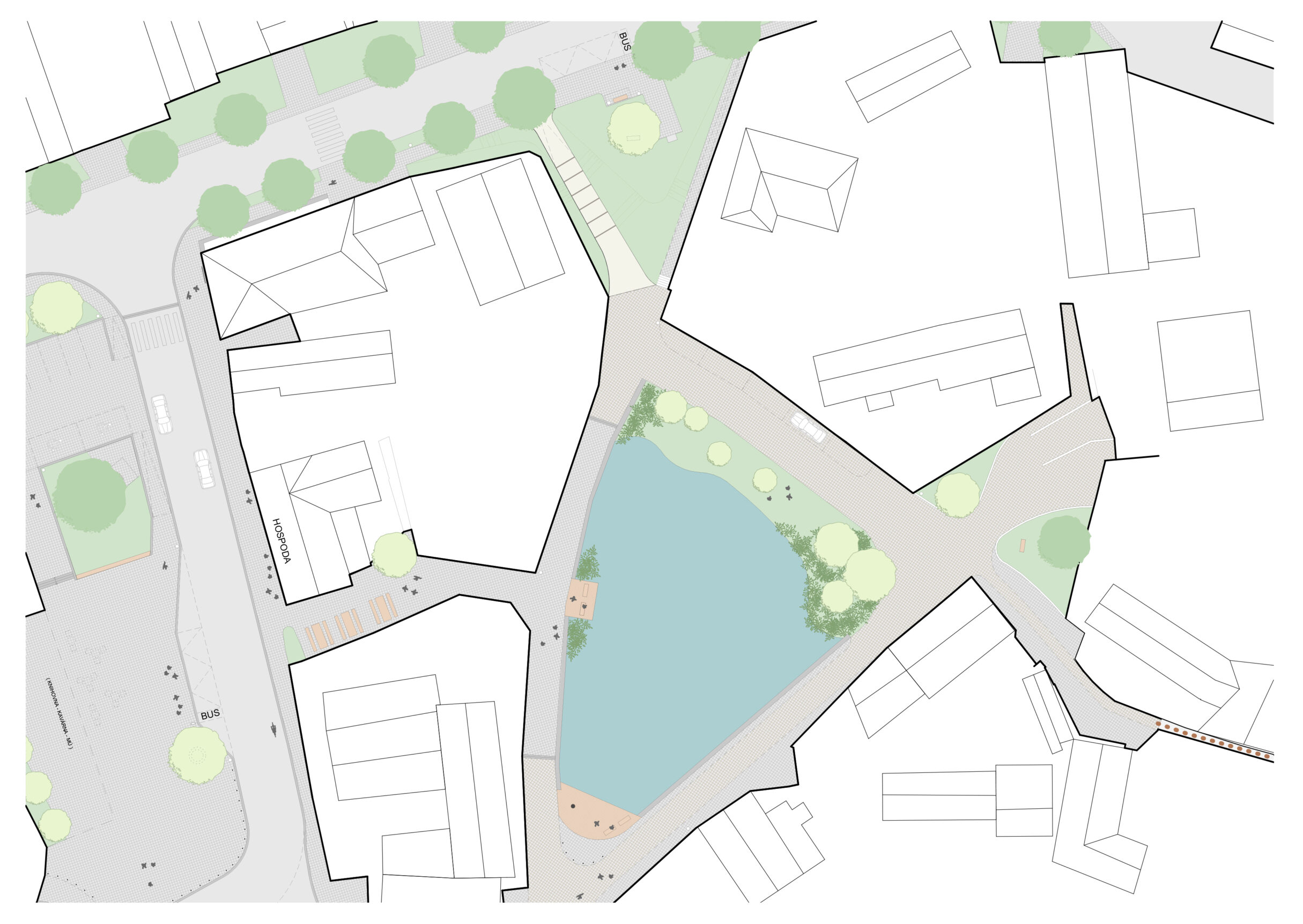
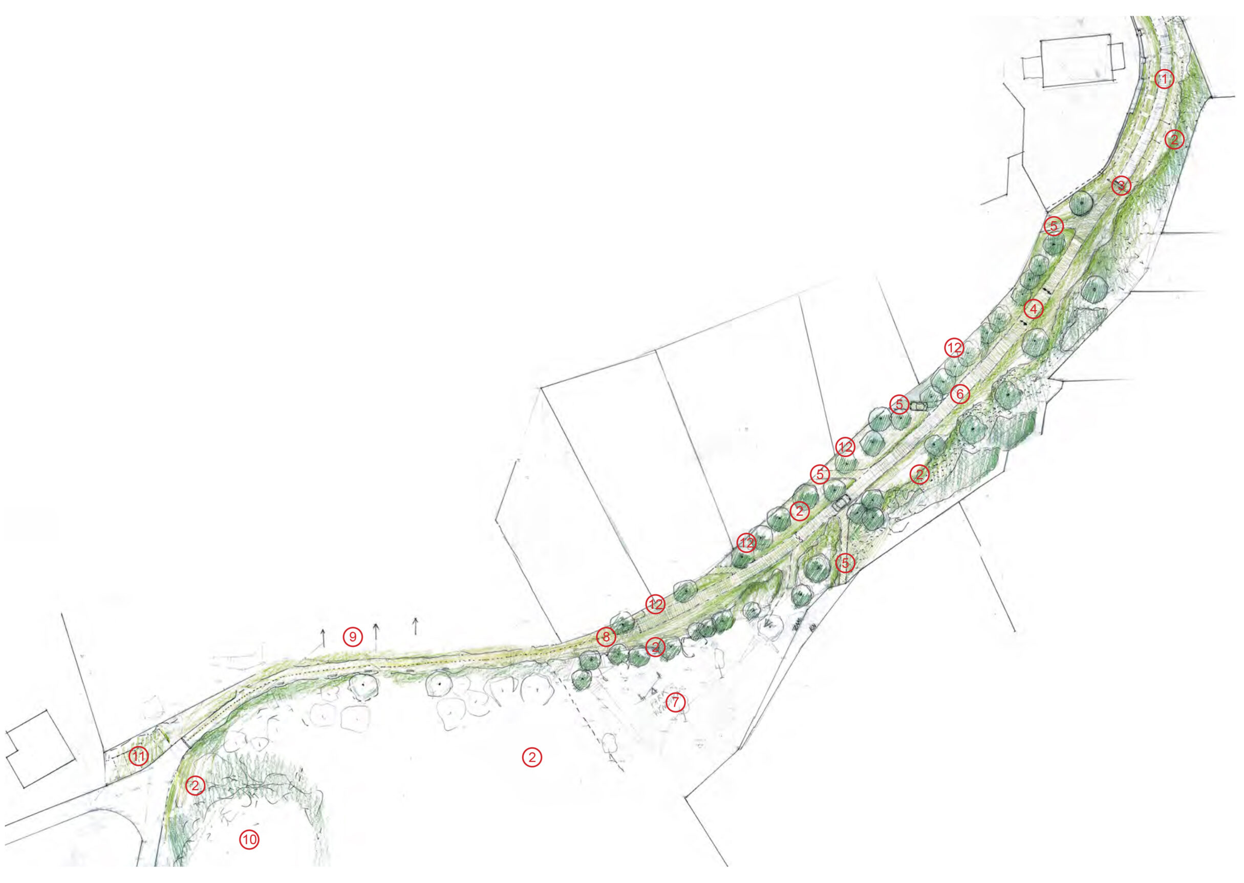
The main pillars of the general concept are the themes of Location, Character and Green Permeability. These phenomena form the framework for the further specification of public spaces on a more detailed scale and are based on the hierarchical relations of residents to the territory, the interconnection of public spaces and their connection to the surrounding communities, and the delineation and differentiation of areas on a corresponding scale.
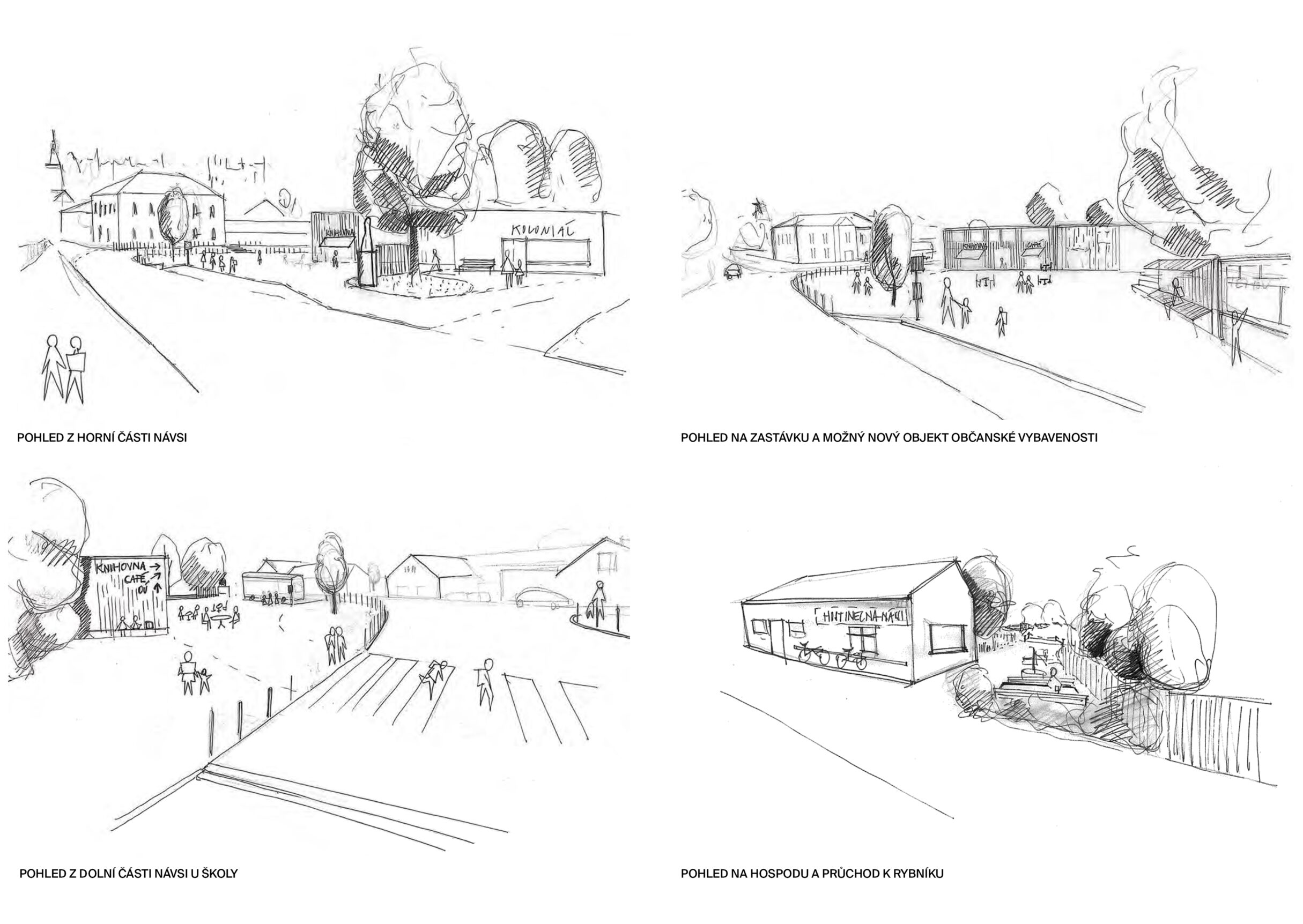
The appearance of high-quality and actually used public spaces is based on their importance. Central places are particularly sensitive in this regard – municipal, local and local centres. These are the spaces, in which the public life of the inhabitants takes place and which form a key element of the identity of the place and the municipality. Therefore, one of the pillars of the general concept is the identification and definition of these focal points.
The procedure is based on the theoretical basis of the system of scale levels, in which units of individual levels, i.e. for example village, locality, block or place, are represented by a certain type of public space. In practice, we see this system as a range of spaces from stops with benches and pedestrian shortcuts through local patches to municipal centers.